Spatial Data Analysis to Measure Inequalities
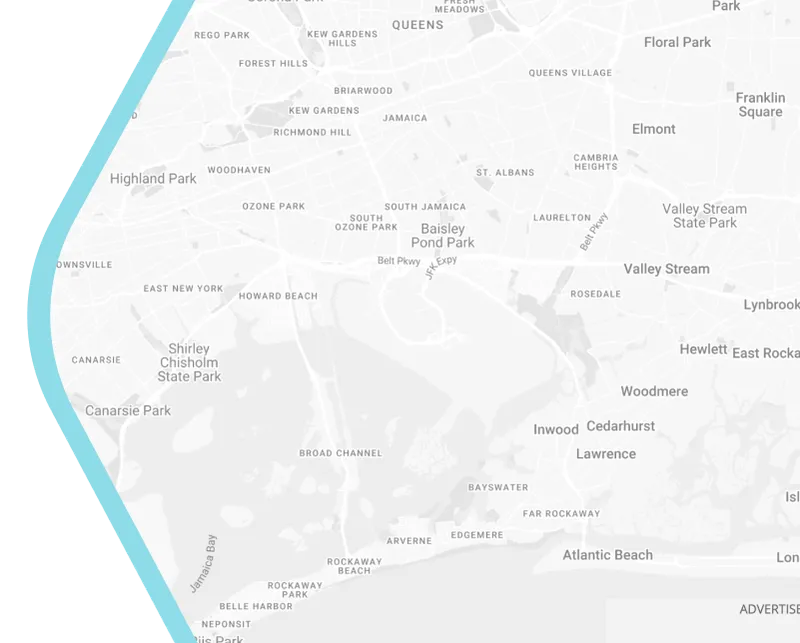
The wide use of smart technology has allowed us to get accurate geographic information of a city or area. The use of spatial data should enhance the analysis of planner and provide evidence on how the city tackles inequalities. Du et al. (2021) take New York City as a case study to introduce a new qualitative methodological approach to assess how urban resource are distributed.


